USA Public Panning Sites Pack
Trip notes, official links and printable sheets.
Compare eleven public panning profiles across seven US states, with approach notes, field techniques and a land-records research method. Nevada and South Dakota are not covered.
NZ$39
approx. US$22 indicative estimate · displayed 5 November 2026 · final checkout charge is in NZD.
Buy PDF — NZ$3928 pages · A4 PDF · November 2026 edition
Download after payment. Save or print for offline use.
Buy opens the live Paystreak checkout, handled by Lemon Squeezy. Preview reviewers: do not complete payment. Refund policy. Need help? Contact support; never send card details by email.
Have a flick through.
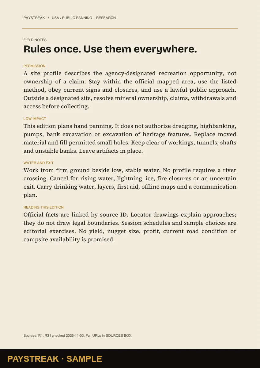
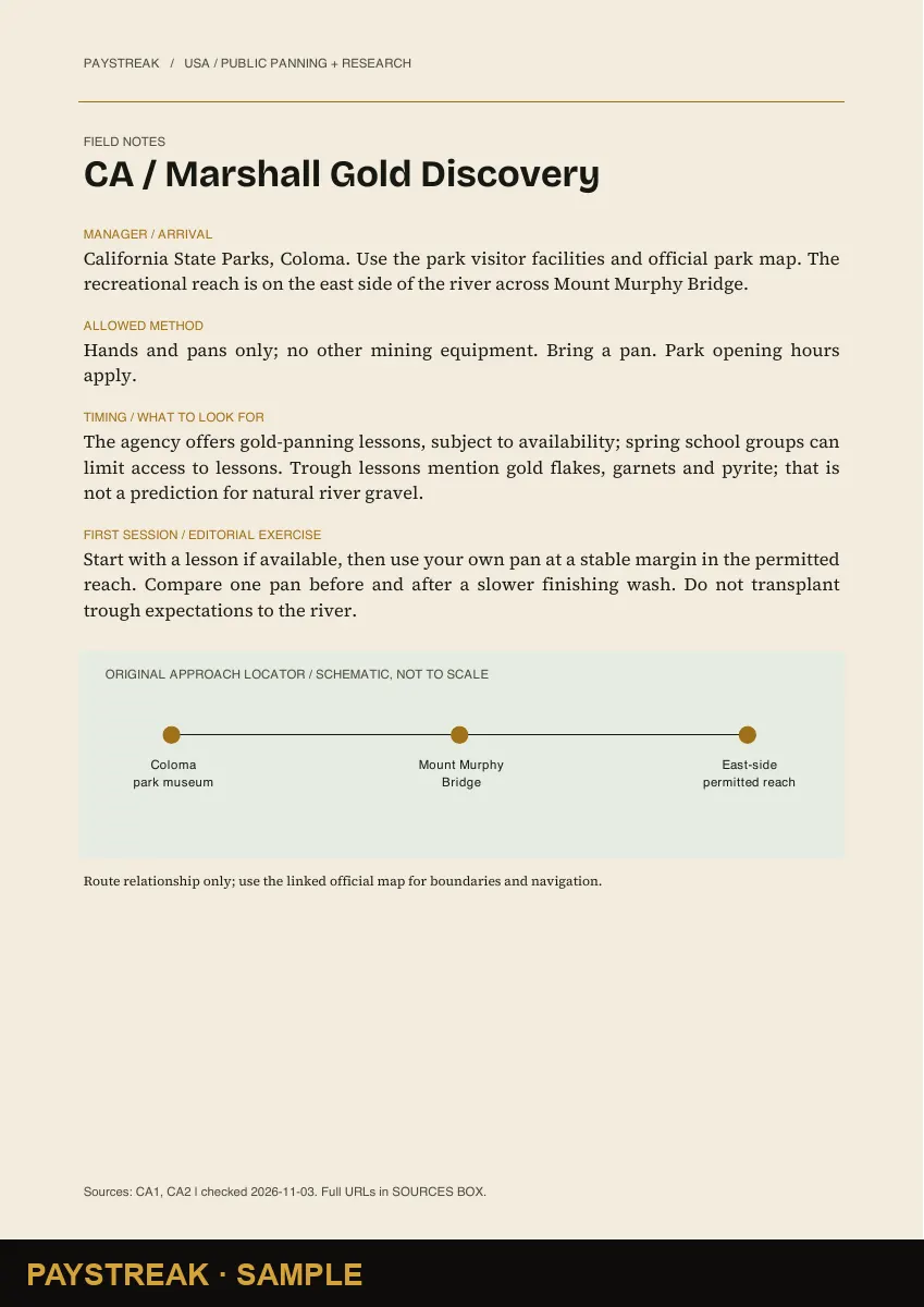
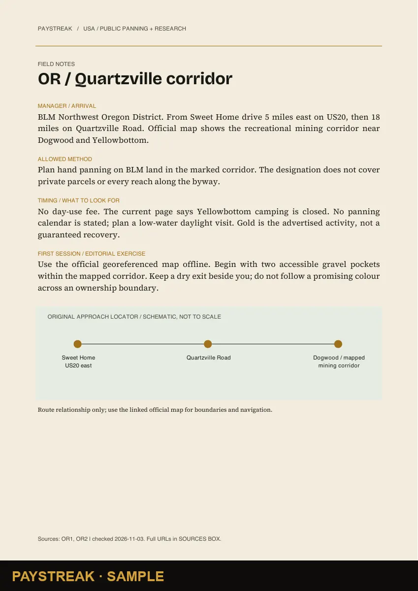
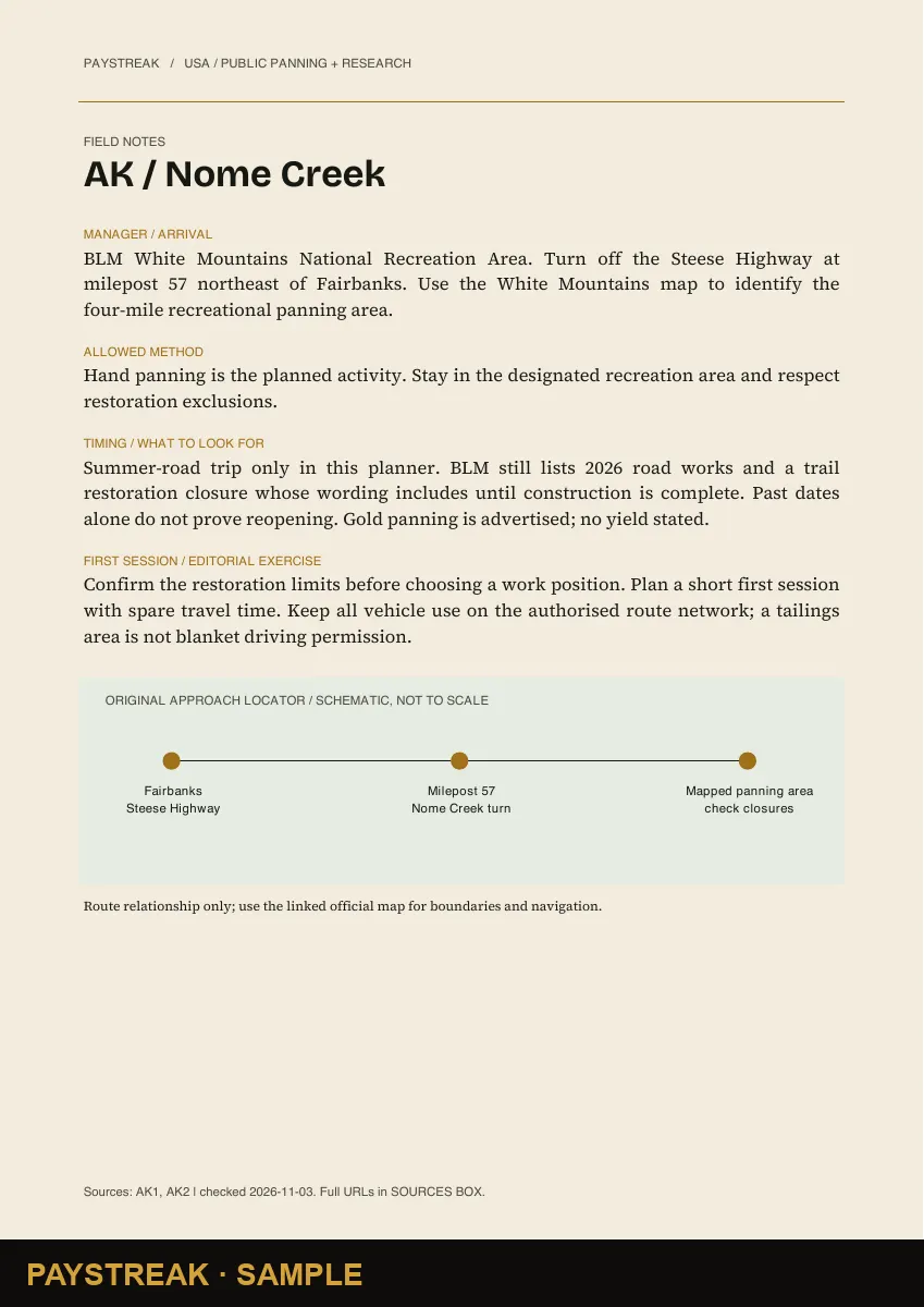
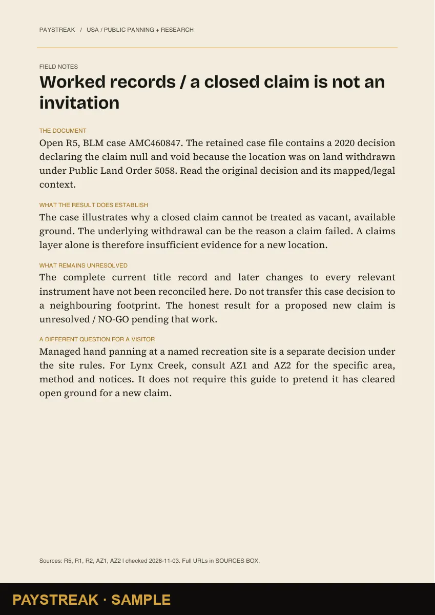
Six sample pages from this edition. Scroll sideways to see more. Open any page to read the watermarked sample at full size.
What’s inside
| Section | Page |
|---|---|
| Your field route | 2 |
| Rules once. Use them everywhere. | 3 |
| Choose a first trip | 4 |
| AZ / Lynx Creek | 5 |
| CA / Marshall Gold Discovery | 6 |
| CA / South Yuba River | 7 |
| OR / Quartzville corridor | 8 |
| OR / Sharps Creek | 9 |
| CO / Cache Creek | 10 |
| MT / Libby Creek | 11 |
| AK / Nome Creek | 12 |
| AK / Resurrection Creek | 13 |
| AK / Bertha Creek | 14 |
| NV + SD / unresolved site coverage | 15 |
| WA / Long Beach seashore | 16 |
| Read the water; test one idea | 17 |
| A pan routine you can repeat | 18 |
| Research 1 / identify the footprint | 19 |
| Research 2 / reconcile title and claims | 20 |
| Research 3 / three worked decisions | 21 |
| Kit, clubs and the cost of a weekend | 22 |
| Worked records / a closed claim is not an invitation | 23 |
| Completed comparison / two different outings | 24 |
| Print / trip and sample record | 25 |
| Sources & map library | 26 |
| Sources & map library | 27 |
| Sources & map library | 28 |
Put the places on a map.
Selected places from the pack that also have free directory pages. Markers show general locations, not permitted boundaries. The full coverage is listed in the contents above. Bridgeport location source: California Water Boards
A few useful answers
How do I get the PDF?
After payment, use the download link in your receipt email. If your receipt includes a licence key, you can also use My downloads. Save the PDF for use offline.
Can I read it without phone reception?
Yes. Save the PDF before leaving home. Its external maps and source links still need an internet connection.
Are the rules always up to date?
This is the November 2026 edition. Recheck access, weather and local restrictions before each trip. The pack links to the sources used for its research.
What if the pack isn’t right for me?
Preview the pages first, then read our refund policy. Contact support with your order number if something is wrong.
Use this pack to prepare, then check current boundaries, landowner permission, permitted methods and conditions with the relevant authority. It is not an access permit or a promise of gold.